Computing Reviews
Check out all our latest computing reviews and previews, covering everything from top notch laptops to powerhouse PC components and networking tech. Every item with a score has been tested by one of our computing experts.
-

Intel Arc A750 Review
Score
The ultimate budget graphics card
-
A worthy Apple Studio Display rival
-
Intel Arc A770 Review
Score
Misses the mark on value
-
Team Red’s ultimate budget GPU
-
Taking the fight to the RTX 4070
-
Keychron Q5 Pro Review
Score
A big and heavy enthusiast-level monster
-
A premium yet affordable graphical crackerjack
-
Keychron K3 Max Review
Score
An ultra-slim mechanical keyboard
-
An affordable webcam with some handy extras
-
-
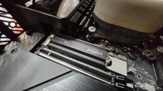
Crucial T700 Review
Score
A solid all-around PCIe 5.0 SSD
-
Keychron Q6 Pro Review
Score
A mechanical keyboard with fantastic switches
-
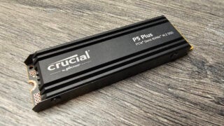
Crucial P5 Plus Review
Score
An average budget SSD for PS5 expansion but nothing more
-
A fantastic OLED upgrade
-
The ultimate PS5 SSD
-
Logitech's first 60% keyboard is a solid start
-
Beautiful design and beastly performance
-
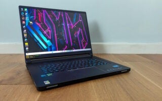
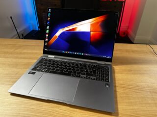
A fantastic compact gaming laptop
-
Razer's latest and greatest keyboard is a real winner
-
Steam Deck OLED Review
Score
Minor tweaks make a big difference
-
Philips 27B1U7903 Review
Score
A work monitor with superb HDR performance and Thunderbolt 4
-
A disappointing colour laser printer
-
A streaming webcam with clever software
-
A budget headset that fails to impress
-
A respectable, reasonably-priced office keyboard.
-
A powerhouse laptop with a superb 18-inch display
-
Extended battery life for an expensive price
-
Crucial T500 Review
Score
The best PCIe 4.0 drive you can get
-
One of the top options for PC or PS5 gamers.
-
Still the best MacBook for most people


Page 1 of 176