New Drone Assist app will warn you about no-fly zones

A new app made by the National Air Traffic Control Service (NATS) should make it a whole lot easier for novice and experienced drone pilots alike to stay away from potential hazards while in-flight.
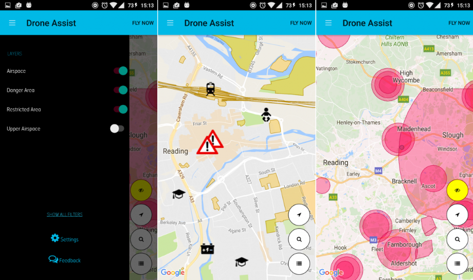
Drone Assist, available for both iOS and Android, uses a live map view with different selectable layers that show commercial airspace, danger areas, restricted areas and upper airspace.
It also warns against ground-based hazards, like power lines, and places like schools or sports venues that carry additional privacy implications for camera-equipped drones.
The news follows a revamp of the drone code last month in the UK – turning the general rules into a mnemonic for easier recall – and is generally in response to the growing number of drone owners in the UK, with many more people predicted to be getting one over Christmas.
According to the UK Airprox Board, there have been around 50 reports of near-misses between drones and aircraft during 2016, up from just 11 last year.
Perhaps more usefully, there’s also a feature that lets drone owners share safe spot to fly without any danger, which will be particularly handy for new pilots. Just don’t let the app replace your common sense and normal due diligence.
Related: This anti-drone gun has a massive 1.2 mile range
WATCH: Parrot Disco hands-on
Will you use the Drone Assist app? Let us know in the comments below!

