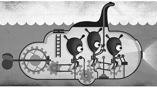
Google joins the hunt for Nessie with Loch Ness Street View

There be a monster in them there waters, and now Google is helping you find it thanks to a new Loch Ness Street View feature.
Marking the 81st anniversary of the ‘Surgeon’s Photograph’ – the infamous (and faked) image purporting to show Nessie breaching the waters of the loch – Google’s Street View cameras have been out on (and under) the expansive waters, mapping one of the world’s most infamous sites.
Giving armchair travellers the opportunity to hunt for the iconic creature, the 360-degree Loch Ness Street View maps cover the shores and waters of the lake, as well as delving beneath the murky surface.
Google has gone all out with the Nessie-themed Street View takeover, even transforming the usual Pegman icon into a loch-loving water monster in a wee Scottish bonnet when close to the creature’s habitat.
They added: “Wherever you stand on the Nessie debate, the legend lives on—even in the digital era. There are more searches for Loch Ness than there are for other U.K. institutions like Buckingham Palace and the Peak District.
“As we celebrate Loch Ness with today’s Doodle, we hope you can enjoy some of the most history-laden and breathtaking imagery the highlands have to offer with Street View in Google Maps.”
Related: What is Google X?
Google mapped the loch the help of Adrian Shine, leader of the Loch Ness & Morar Project, and a number of divers from the Catlin Seaview Survey.
“Sail across the freshwater lake and take in its haunting beauty, made darker still by the peat particles found in its waters,” the search giant said.
“Let the Loch unlock the spirit of your imagination, where the rippling water, tricks of the light, and drifting logs bring the legend of Nessie to life.”

