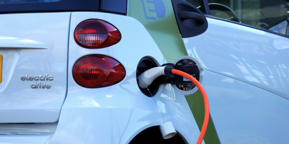
Finding an open space to charge your electric car is still very much a first world problem in 2019, but it won’t be forever. With e-cars like the Tesla Model 3 coming within the price ranges of every day drivers, competition for a charging station is sure to increase.
That’s why Google is getting proactive with its latest Google Maps feature, which tells drivers where they can find an open spot in real-time. Starting today, in the UK and the US, drivers can search for “ev charging station” within the Google Maps app to see if the stations are open before they head in that direction.
Initially, Maps will surface real-time data from Chargemaster, EVgo, SemaConnect, with Chargepoint chargers coming soon. The app will show how many of the ports are currently available, while also showing the charging speeds on offer.
Related: Death by driverless car: Who’s to blame?
Google initially announced it was adding the location of car chargers to the Maps app last October, but this addition will certainly make the feature more useful for those who’ve already embraced the electric revolution.
In a blog post, Alex Donaldson, a product manager for Google Maps writes: “If you’ve ever driven to an electric vehicle (EV) charging station only to find that all ports are occupied, you know that you could end up waiting in line for anywhere between minutes to hours—which can really put a damper on your day when you have places to go and things to do.
“Starting today, you can see the real time availability of charging ports in the U.S. and U.K, right from Google Maps–so you can know if chargers are available before you head to a station.”
The update is rolling out today for Android, iOS , Google Maps on desktop, or Google Maps for Android Auto.
Will the update for Google Maps assist you in your daily search for a charging station? Let us know @TrustedReiews on Twitter.

Editorial independence
Editorial independence means being able to give an unbiased verdict about a product or company, with the avoidance of conflicts of interest. To ensure this is possible, every member of the editorial staff follows a clear code of conduct.
Professional conduct
We also expect our journalists to follow clear ethical standards in their work. Our staff members must strive for honesty and accuracy in everything they do. We follow the IPSO Editors’ code of practice to underpin these standards.