Let us preface by saying this; Apple Maps is way improved in iOS 10. The new interface, the easy to access shortcuts, the integration of apps, the ability to book an Uber and the Parked Car feature are all worthy additions.
However, it’s still far from perfect, which is why Apple is still looking to improve its stock mapping solution for iOS devices.
According to Bloomberg sources the solution lies in drones, which will be used to examine street signs and ensure changes in road layouts are captured so they can be reflected in Maps.
Related: Apple Maps debacle means we now get iOS public betas
Apple has been trailing Google Maps ever since it replaced Mountain View’s long-trusted app in iOS 6 with a largely derided homebrewed option.
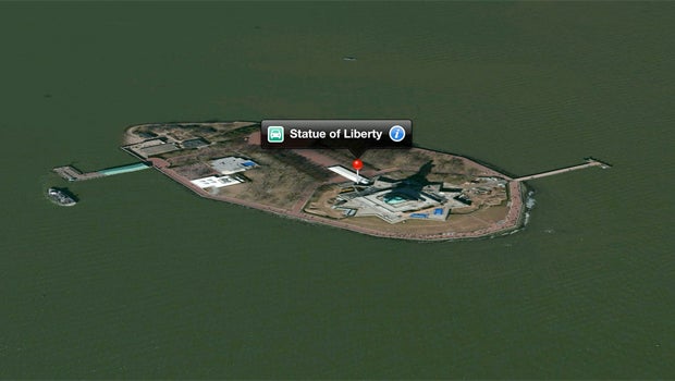
The initial failings, which removed landmarks like the Statue of Liberty from maps, and led poor drivers onto airport runways, cost longtime iOS chief Scott Forstall his job.
Video: iOS 10 Tips & Tricks
According to today’s reports Apple filed for permission to fly drones for commercial purposes over a year ago.
Permission was granted back in March, so the efforts to use drones to improve Maps may already be underway.
The Bloomberg sources say at least one member of Amazon’s Prime Air team has been poached to assist Apple with the development and deployment of the drone fleet.
Watch The Refresh: The best tech gossip and reviews every week
Are you an Apple Maps convert? Or is the first thing you do with a new iPhone still a Google Maps download? Share your thoughts in the comments below.

Editorial independence
Editorial independence means being able to give an unbiased verdict about a product or company, with the avoidance of conflicts of interest. To ensure this is possible, every member of the editorial staff follows a clear code of conduct.
Professional conduct
We also expect our journalists to follow clear ethical standards in their work. Our staff members must strive for honesty and accuracy in everything they do. We follow the IPSO Editors’ code of practice to underpin these standards.